New storms trigger high streamflow advisory
Environment and Climate Change Canada says a new atmospheric river will begin soaking the South Coast late Saturday and continue into next week. The high streamflow advisory for B.C. Coast and Fraser Valley covers the North Coast near Prince Rupert and Kitimat, the Central Coast including the Kingcome River, and the South Coast from the Sunshine Coast to Howe Sound and the Sea-to-Sky corridor.
Lower Fraser tributaries, including the Lillooet River and creeks around Pemberton, are also included, along with the Fraser Valley, Fraser Canyon, North Shore Mountains and all of Vancouver Island. Forecasters expect the heaviest rain from late Sunday into early Tuesday, pushing river levels higher on Monday and Tuesday.
Elevated flood risk for Sumas and Fraser Valley
Officials warn that “active weather” over the next seven to ten days will keep flood risk elevated along much of the coast. Areas hit by last week’s storms face extra danger because soils are already saturated and small creeks are running high.
Environment Canada is maintaining a separate flood warning for the Sumas River, where floodwaters continue to affect Sumas Prairie. Forecasts for Washington’s Nooksack River do not currently show another major overflow into the Sumas, but local inflows could slow the retreat of existing floodwater and cause new rises in river levels.
Highways and travel still disrupted
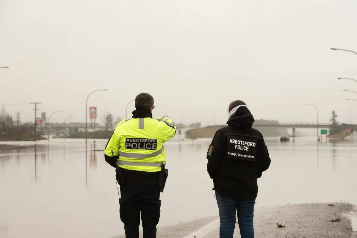
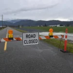
As Abbotsford and neighbouring communities work to recover from recent flooding, key transportation routes remain affected. Highway 1 is still closed between Whatcom Road and No. 3 Road, cutting the main link through Abbotsford toward Chilliwack and the Interior.
Local authorities say there is currently no direct way through Abbotsford to Chilliwack or further east, and they urge drivers to follow traffic advisories on DriveBC. Communities such as Chilliwack continue to post flood and road updates on their municipal websites as conditions change.
What residents should watch for
With the high streamflow advisory for B.C. Coast and Fraser Valley now in place, the River Forecast Centre and local governments are asking people to stay clear of fast-moving rivers, creeks and culverts. Saturated banks can erode quickly and may give way without warning, posing risks to walkers, anglers and anyone near the water’s edge.
Residents in low-lying areas should secure valuables, check sump pumps and clear storm drains of leaves and debris where it is safe to do so. Officials say staying informed—through city alert pages and provincial advisory sites, will be key as the next wave of storms moves across the region early this week.
Stay updated instantly — follow us on Instagram | Facebook | X


