B.C. South Coast Braces for Winter Weather Shift
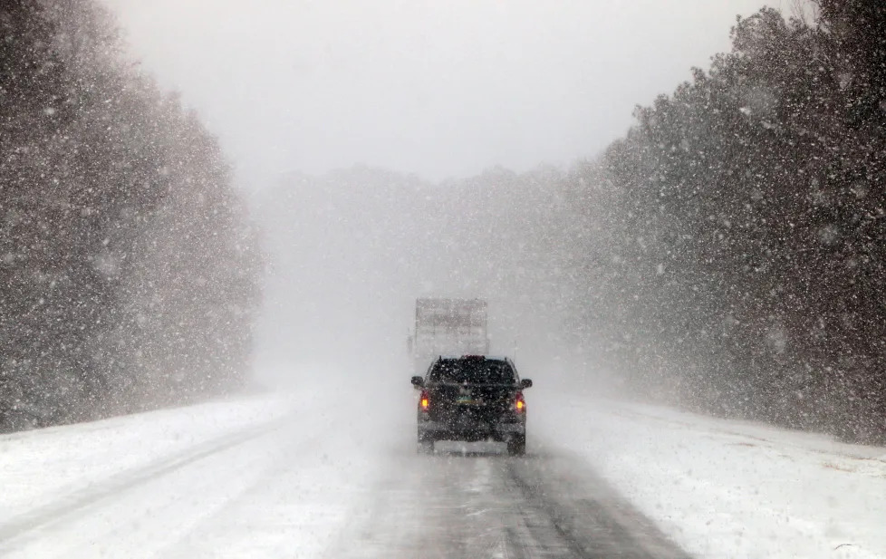
A winter storm system moving down from the north is expected to bring mixed precipitation including rain, snow and flurries to the South Coast of British Columbia, including the Vancouver region, in the coming days. Temperatures remain cool, and pockets of wintry weather could occur, especially above sea level and in higher terrain.
Rain at Sea Level, Snow Possible Inland and at Elevation
While coastal areas like Vancouver have experienced milder conditions with mainly rain and showers, there is a chance that snow or snow-rain mixes will develop as the approaching weather system interacts with colder air. Environment Canada warnings note that the Fraser Valley, Howe Sound and Sunshine Coast where temperatures can dip near freezing are among the areas most likely to see snow or flurries.
Why Snow on the South Coast Is Unusual but Possible
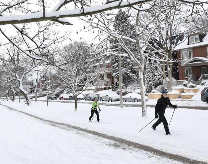
Snow at sea level on the South Coast is less common because middle winter in coastal British Columbia typically brings milder, wetter conditions with rain rather than heavy snowfall. However, if arctic or cooldown air arrives with the precipitation, even low elevations can see snow accumulate briefly, and higher elevations — like the North Shore and other nearby hills — often get snow more reliably.
What Weather Patterns Are Driving This Change
Weather models show that high pressure over western North America earlier kept snow chances low, but that pattern is breaking down. Ridge and trough shifts push colder air southward, allowing precipitation to fall as snow where temperatures hover around freezing. This pattern may bring flurries to parts of the South Coast around early to mid-week in combination with rain, especially overnight or in the morning where air temperatures dip.
Local Forecast Highlights
Current forecasts for the Vancouver area suggest:
- Temperatures mostly above freezing, with highs near 5–7 °C and lows around 0–2 °C.
- Periods of rain or mixed showers shifting through the week, with the chance of flakes or mixed precipitation early on cold mornings.
- Higher terrain — such as local mountains and elevated suburbs — remains more likely to see measurable snow and accumulation than valley floors.
These conditions reflect a classic Pacific-coastal winter pattern where rain and snow mix at times as temperatures fluctuate near the freezing mark.
Preparation Tips for Residents and Commuters
Residents in lower-lying or inland communities should stay alert for weather changes, especially if commuting early in the morning or late at night. Roads, bridges and overpasses can become slick when temperatures drop or during transition periods between rain and snow.
Drivers are encouraged to check up-to-date road reports and allow extra travel time, while walkers and cyclists should be cautious on mixed wet/icy surfaces.
Looking Ahead: More Wet Weather on the Way
After this brief winter system passes, meteorologists expect continued wet conditions with mild temperatures returning, meaning snow chances at sea level will likely remain low over the next week, though mountain and hillside snow remains probable.
Stay updated instantly — follow us on Instagram | Facebook | X


